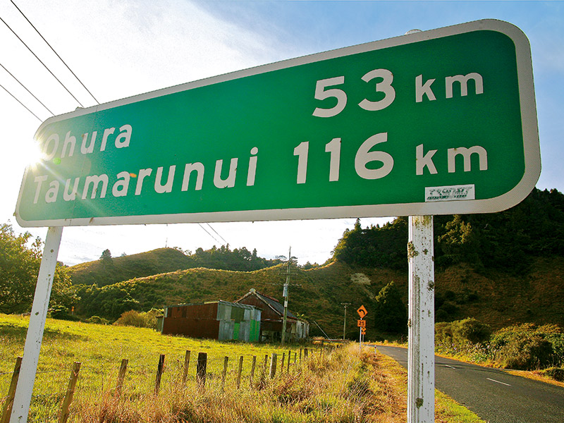
At the foot of Mount Messenger in North Taranaki there is an insignificant side road called Okau Road that veers off SH3 to the right. The familiar green and white road sign says "Taumarunui 116km". That leads to the same destination as the better known southern route from Stratford known as the forgotten world highway.
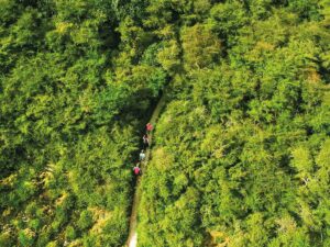
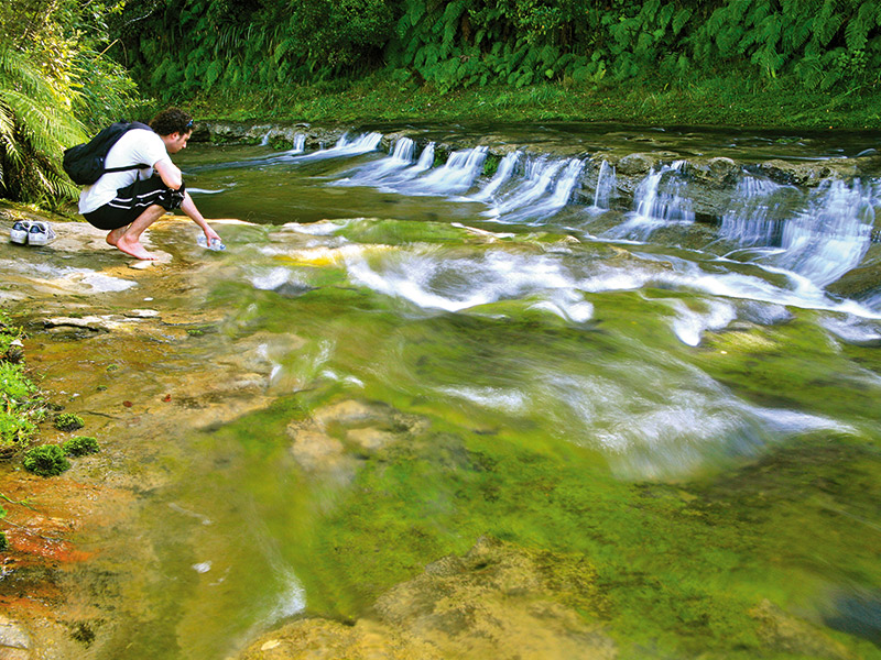
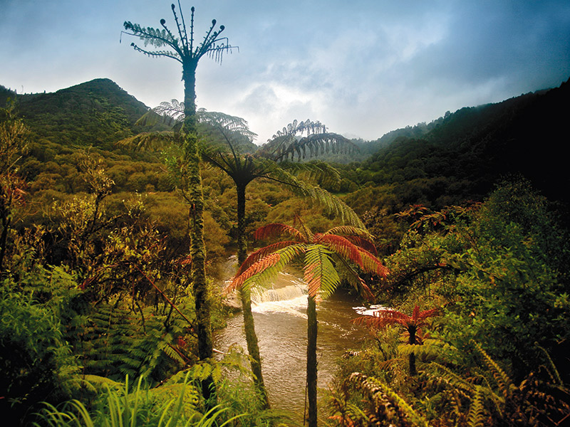
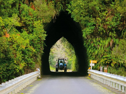
The small settlement at the beginning of the road is Ahititi. It comprises a group of abandoned buildings and a small rural school. For the next half hour, the narrow sealed road gently meanders through a lush green valley beside the Tongaporutu River. There, one of the most beautiful road tunnels I have ever seen pierces a fern-covered hill with a bridge at either end.
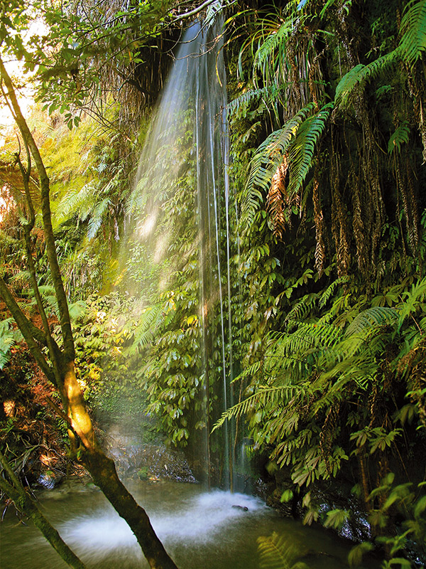
Towering bush clad cliffs soar above some parts of the road with distinctive ochre and white stains left by dried up waterfalls that cascade down during heavy rain. A little further on there is a side road that allows access to the 80 metre high Mount Damper Falls; then continues on to emerge near the almost ghost town of Tahora on the forgotten world highway, effectively linking both routes.
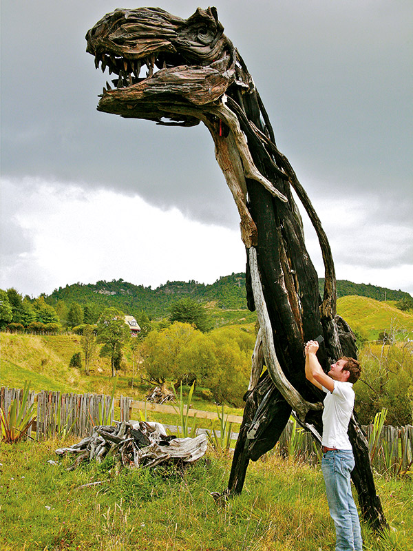
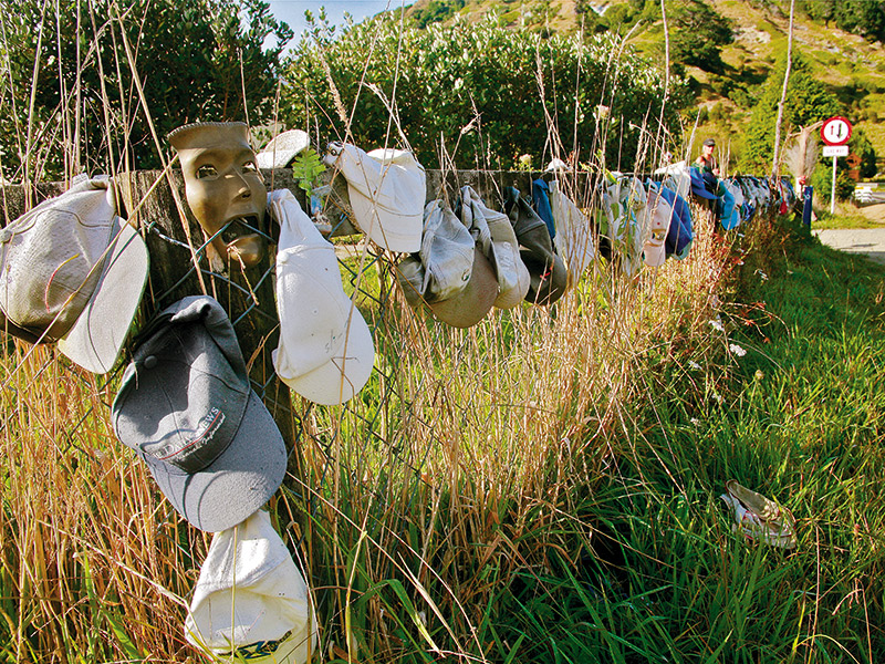
A simple cottage enclosed by a makeshift fence of black driftwood gathered from the nearby river, is a clue to the colourful characters who live along this road. This is Rambo's place, and his front fence decorated with baseball caps sums up his personality perfectly.
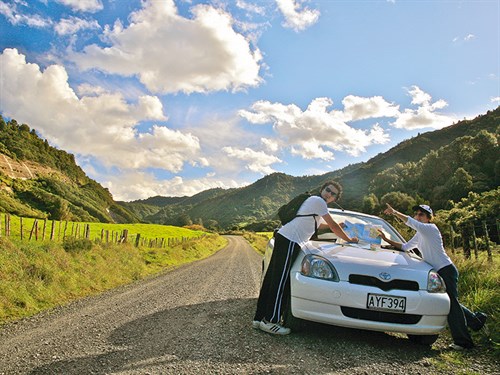
Up until now it has been a smooth scenic drive in the country but that will shortly change as the road abruptly switches from tarseal to bone jarring dusty metal at the bottom of what appears to be a steep saddle. This was the perfect spot to park up for a break before taking on the dusty climb.
Almost on cue a white horse with dreadlocks came up to the fence and 'smiled' at me as if to say, "Good luck city slicker; you're in for a treat." With hairpin bends, dust, loose gravel and no room if another vehicle came around the corner, the saddle was definitely a challenge.
At the top, the road levels out on the Waitaanga plateau, which mostly comprises scrappy-looking farm paddocks. In the past, native timber was logged here. The remnants of the original tramline form a track to the Te Rerepahupahu Falls. To access the track, turn right on the Waitaanga South Road and drive to the sign at the end of the road. The track features several swing bridges and a hut at about the halfway point.
After passing the old Waitaanga school, the road enters thick bush to its highest point above sea level then drops down into the Ohura Valley. In the 1950s and 60s this town had a petrol station; a picture theatre with a milk bar; a bank and post office; a whiteware shop; tearoom; general store; butcher; bakery; fire station; an ambulance, two churches; a high school and a primary school; rugby field, with a covered grandstand; a railway station, with resident station master; a TAB; drapery store and cosmopolitan club.
The cossie club is all that remains today; still serving up liquor as it has since 1954. Everything else has fallen down; been demolished; closed, or left to succumb to the elements. Apart from the club, the only other business still operating in town is a backpacker housed in the former prison buildings.
The wide main street with its centre grassed island must once have been packed with activity. Today I only saw one other person: a lady who wanted to open a second-hand shop in the former petrol station building – or what was left of it.
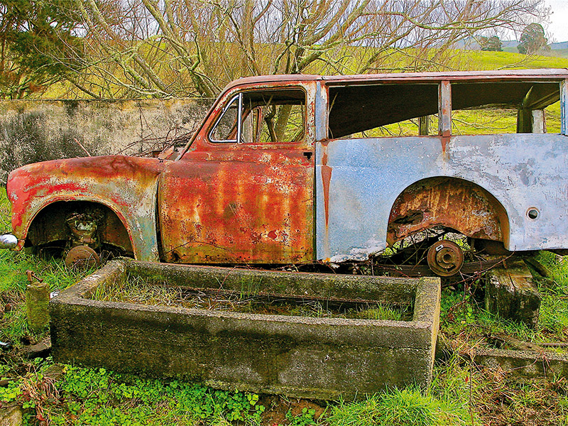
From Ohura, the road follows the now decommissioned SOL railway through places like Nihoniho, Matiere and Tuhua. Like Ohura these places were basically just a collection of abandoned shops and houses; relics from a bygone time. At Tuhua there was nothing to suggest there was ever settlement there. The only interesting feature was a short curved railway tunnel where the road passed over the tunnel portals at each end.
To shorten this trip, turn right onto Okahukura Saddle Road. It will bring you to SH4 opposite the combined rail and road bridge where the SOL joins the Main Trunk Railway Line. Now newly-sealed, you can get a great view of Mount Ruapehu from the top of the saddle on a clear day.
The combined rail and road bridge is now looking rusty and dilapidated although the road section is still being used. I was once on a train from New Plymouth to Wellington waiting for clearance to move onto the Main Trunk Line. The carriage sat on top of this bridge for almost an hour; at a time when the river below was in flood which left me – and everyone else in the carriage – a little uneasy. From this point it is an easy drive into Taumarunui where you can continue on to National Park or join the forgotten world highway, SH43 for the return trip back to Taranaki.
If you like travelling in remote places on gravel roads; then SH40 is hard to beat. It is a fascinating look back into our recent past; and in some respects reminds us of the quieter lifestyle many of us left behind in our rush to live in the cities.
There is one more reward for driving this route: if you have never been to a commercial car wash you will have a very good reason to visit one.
Local knowledge
- There are no petrol stations between Ahititi and Taumarunui
- In winter the route can be muddy and prone to slips and flooding
- The road is sealed from Ohura to Taumarunui
- Watch out for stock on the road; as well as large flocks of wild turkey
For the latest caravan reviews, subscribe to our Motorhomes, Caravans & Destinations magazine here.