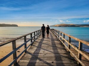
A warm, sunny summer’s day entices one into the outdoors. The clear blue sky and the gentle breeze just beg to be enjoyed. One such day, a friend and I decided it was time to give our legs a good stretch and go bush for a day. Our destination was Stanfield Hut in the eastern Ruahine Range.
Around 60 huts are scattered around the Ruahine Forest Park, most of them built in the 1960s by the Forest Service to shelter deer cullers. These hardy men went bush for weeks on end; it was a solitary lifestyle. Stanfield Hut was of the huts these hunters called home. It was named after George Stanfield, a local landowner.
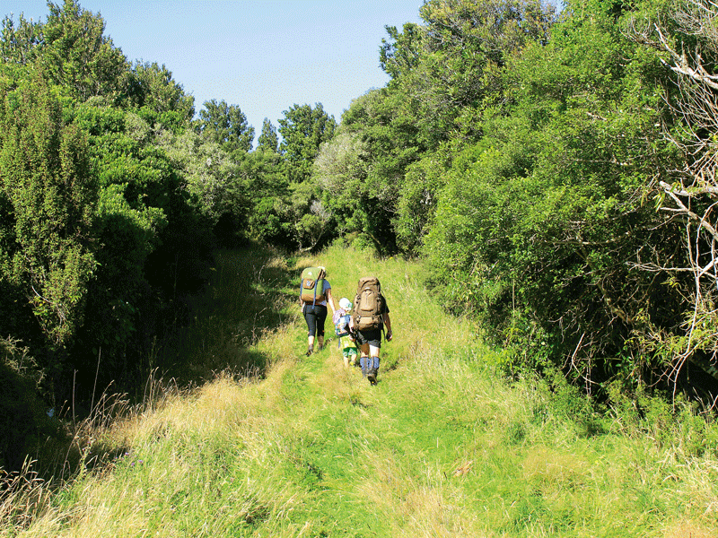
Visiting the hut makes for a great day walk. It is around a two-hour walk from the carpark and can be done as a four- to five-hour return loop. It is also a great destination for families to take kids on an overnight tramp.
Fifteen minutes’ drive inland from Dannevirke, we arrived to find several cars at the small carpark and a young hunter heading home after an early start.
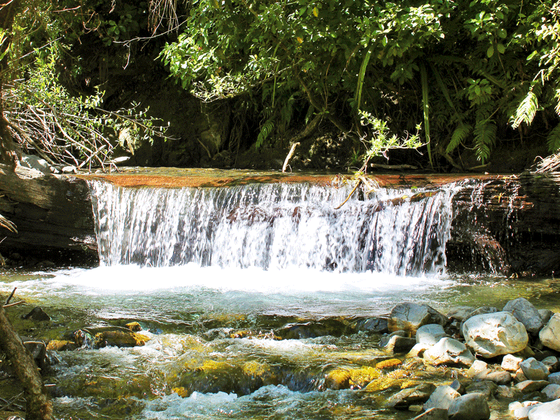
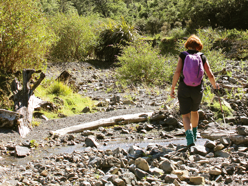
The tramp starts with a five-minute walk to a picnic area with a shelter, barbecue, and a fairly hideous concrete block of toilets. There are two options to get to the hut, either up the river (only advisable in low river flows) or via the Holmes Ridge track. We decided to walk the ridge track first and keep our feet dry. We still had to cross the river to start up the track, however as the river was very low, we were able to boulder-hop across. There was a steep initial climb of 10 to 15 minutes up through the regenerating native forest. This got the heart rate up and we were soon stripping off a layer.
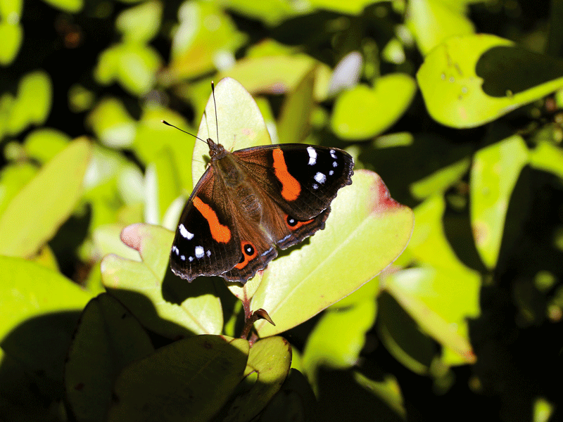
The track levelled out as it reached the ridge and an old farm road—open and wide. A bit rutted in places, this was an easy undulating walk for roughly the next hour. We enjoyed walking side by side in the sunshine and having a good catch up interspersed with soaking up the silence. Native red admiral butterflies flitted around us in flashes of delightful colour.
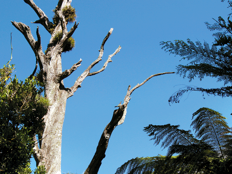
Bordered by scraggly native bush on one side and scrubby farmland the other, there were vast views out over the farmland behind us as we paused to gaze around. Sadly, this area of the Ruahine Forest Park has been badly damaged by possum browsing and many dead trees were visible from the ridge.
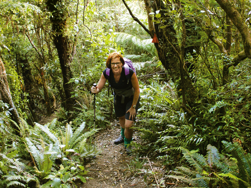
Eventually, we reached a wide, grassy bay at which point there was a sign indicating 45 minutes to Stanfield Hut. The track narrowed and entered the bush as it descended. We enjoyed the shade of the bush and the earthy smell it brought. Some, but not a lot, of birdlife was evident including the unmistakable woosh of the kereru (native wood pigeon) as it landed on a dead tree nearby. The descent was gradual and crossed a couple of small streams before eventually following the river.
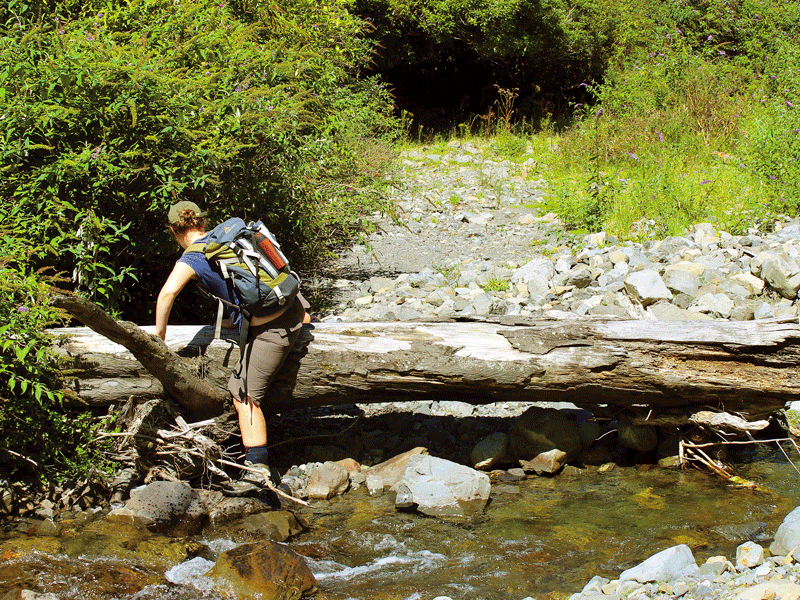
Soon we came across an old set of signs, one to Stanfield Hut with the arrow directing trampers further along the river. This wasn’t right. At this point we should have dropped down to the river and crossed it, but we didn’t. Missing the turn-off, we carried on up the old track until it simply disappeared, washed out by winter flows. No big drama, we simply dropped down to the river there. Clambering over clumps of dead vegetation adds to the adventure!
After about 15 minutes I felt we must be close to the hut but there were no obvious orange triangles.
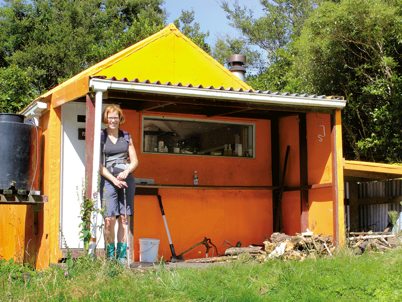
We reached a small side stream on our left (true right of the river) and scanned the area, spotting a couple of bits of pink tape tied to bushes. We were not impressed with the lack of track markers. We started up this stream and found a large (faded) orange triangle hidden behind a tall shrub. A short steep climb took us up to a terrace and within a couple of minutes, we had reached Stanfield Hut, not quite two hours after leaving the carpark. Stanfield Hut is a tidy eight-bunk hut, a vibrant bright orange glowing in the sunshine. We enjoyed a leisurely lunch and relaxed in the sunshine on the grassy space in front of the hut. But no rest for the wicked. We still had some work to do to get home, and so we set out back down the river.
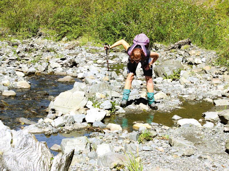
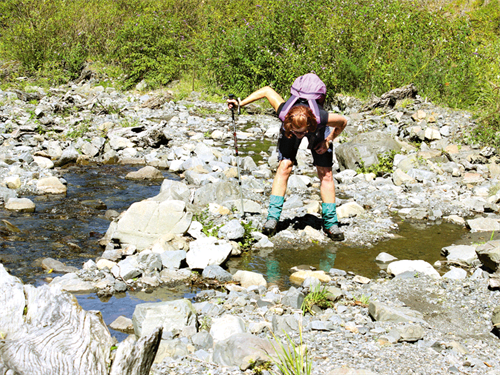
I have to be honest. On the day of this tramp, the river could barely have been called a stream, so we managed to keep our feet dry for a good part of the way. The route crisscrossed the river more than 60 times, so in higher water flows it would be quite exhausting. The riverbed was fairly wide, quite barren, and coated in weeds, including plenty of willow. But looking up the sides of the valley, surviving native giants such as rimu and kahikatea were silhouettes against the blue sky in all their grandeur.
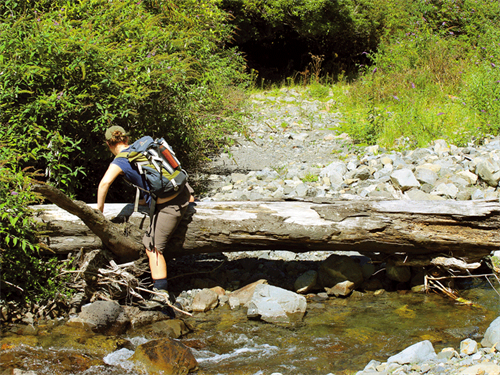
At one point a slip had come down, a giant rimu ending its time in the world. The tree spanned the entire riverbed making us look carefully for a place to clamber past.
As we got further down the river, the bed narrowed and we found ourselves having to duck under or stretch around more obstacles, keeping an eye out for an easier alternative route off to the side. It was one of those situations where you think you’re almost there for a good half hour before you actually are. Just around the next corner, honest!
But there was never any concern about getting lost as long as we stayed close to the river, and eventually, we saw the big orange triangle that marked the track back up to the picnic area. It had taken us around half an hour longer to return via the river, but that was at a leisurely pace.
Despite the inadequate track markers, we had an amazing day, sunshine, native bush, and water. What more could you want?