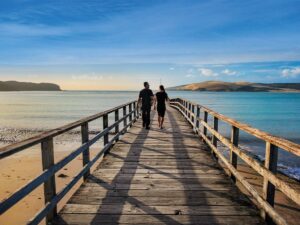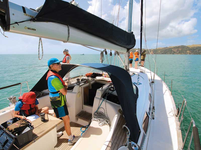
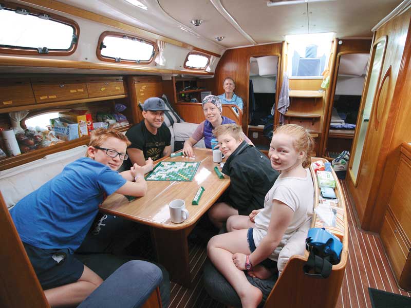
A sailing trip on a 46-foot yacht is not an everyday experience for us, so being invited to be ‘crew’ for the children’s grandfather last summer was too great an opportunity to miss.
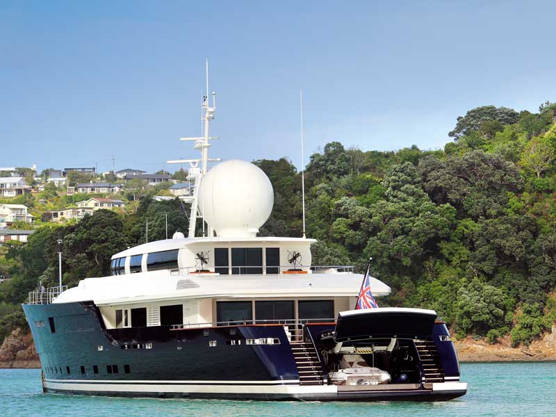
The charter yacht, Bella Rosa, moored at the Baywater Marina on the North Shore of Auckland was to be our home for a week. A summer holiday at sea? Perfect! Well, except for the New Zealand weather that saw a storm hit Auckland just as we were about to sail.
Playing havoc
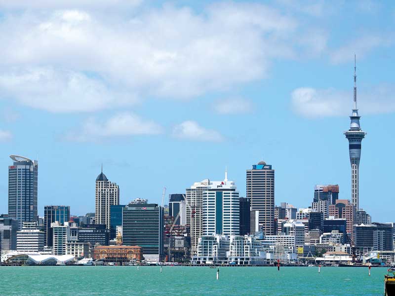
High winds prevented us from sailing for two days. So what to do with three young people and five adults on a yacht in a storm? Just get out in the rain! Hopping on the adjacent Bayswater Ferry, we high-tailed it to the city centre for a bit of sightseeing and shopping.
It was not exactly what we had planned but the trip up the Sky Tower was a fascinating first for us all. So a piece of advice—if you’re going to be stuck on a yacht in a storm, close to a city centre is the place to be!
Hoist the mainsail
 |
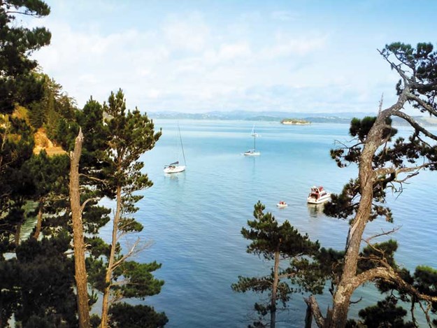
Anchored off Waiheke Island |
Early afternoon of day three saw the weather clear enough to throw off the moorings and set sail. With the crew on the lookout for other vessels in the port area, we made our way out of Auckland Harbour. The large ships of the Devonport Naval base to our left, the city of Auckland to our right.
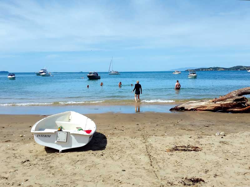
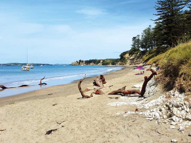
The Hauraki Gulf is the perfect playground for those who love the water. We were accompanied by a variety of watercraft, all shape and sizes, on our journey. Ferries churned their way out to Waiheke Island making for a fun roll around every time we hit their wake.
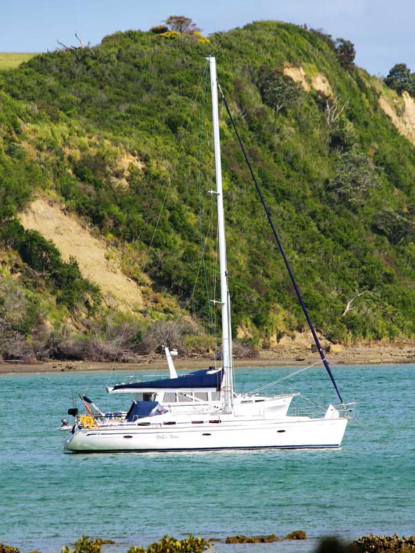 |
Our yacht for the week, the Bella Rosa |
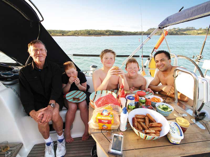
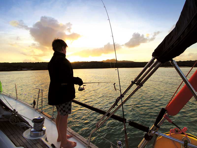
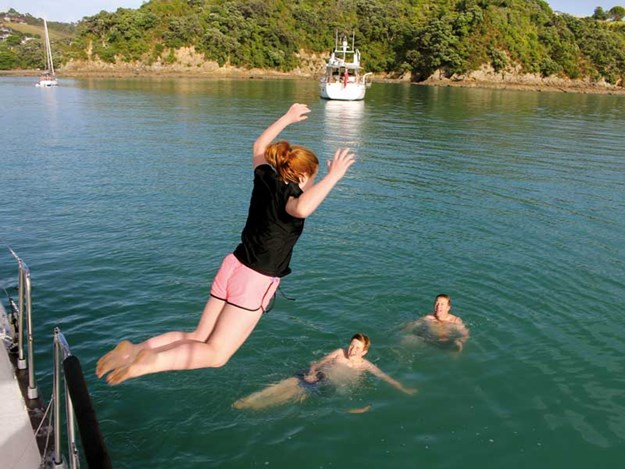
Our destination that afternoon was a sheltered bay on the far side of Waiheke Island. Motoring in we joined a fleet of other yachts and dropped anchor. Quite a community of homes and baches occupied the bay and while we chose to enjoy it from afar, plenty of others were rowing or paddling their way ashore. Time for a fish and a swim as the sun set; our adventure had begun.
Rangitoto Island
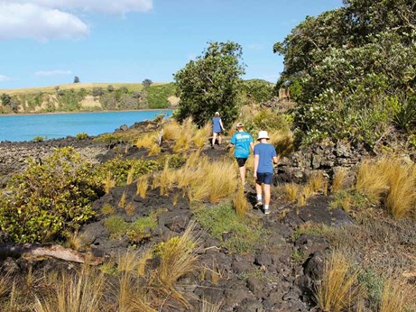 |
Crossing the rugged rocks of lava flows on Rangitoto Island |
After a day spent circumnavigating Waiheke, the kids were ready to lower the anchor at Islington Bay, Rangitoto Island. As a nine-year-old, I was introduced to Maurice Gee’s Under the Mountain, and, being a redhead twin myself, felt a certain affinity with the main characters of the story. I’ve had a fascination with Rangitoto Island and volcanoes ever since.
And this, my first visit to the island, lived up to expectations, with the sharp, black scoria shoreline covered in twisted pohutakawa and deteriorating old baches—a dark and mysterious combination.
 |
History and geology combine to make Rangitoto Island fascinating |
From the yacht, we motored to the shore in the dinghy, docking precariously at Yankee Wharf, an old launching ramp left over from the island’s days as a mine base. Public ferries anchor at Rangitoto Wharf, where the track to the summit begins.
From Yankee Wharf, walking trails take you far around the shores of the island. In one direction, we could head to the main jetty of Islington Bay and on to the causeway that joins Rangitoto to Motutapu Island—a much older volcano. The other direction took us to an old Second World War defence site, with rusting equipment and vast concrete foundations of the buildings that once were. In both instances, we passed old, abandoned baches or remains of.
History in peace and war
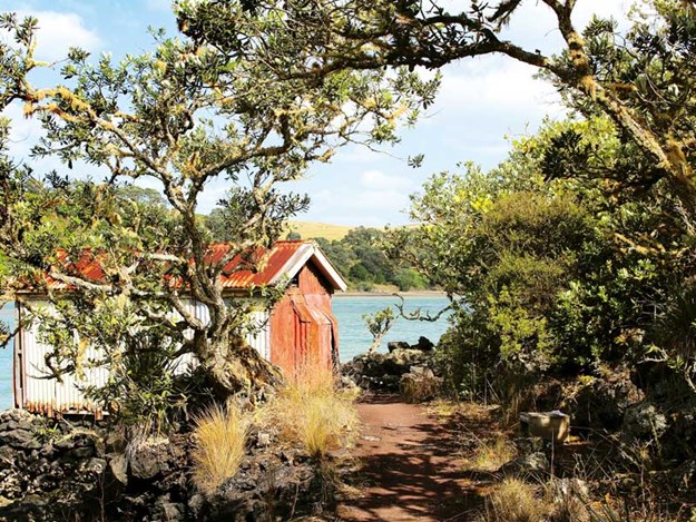
While only a baby in volcanic terms (Rangitoto started forming around 6000 years ago), the island has a fascinating human history. The most visible remains of this are the abandoned baches sprinkled along the shoreline.
These were built in the 1920s and 30s and quite a community sprung up around them. The late 30s saw a ban on any more baches being built after queries around their legality. Long story short, after much controversy, bach tenants were given lifetime leases. Once they passed away, the baches were demolished apart from a few preserved as is for history’s sake.
Also highly visible are the remains of military installations around the island. The island was a key site for defence of Auckland Harbour and also a temporary home to US troops. After much exploring and photography, it was back to the Bella Rosa for more swimming and fishing.
Tiritiri Matangi Island
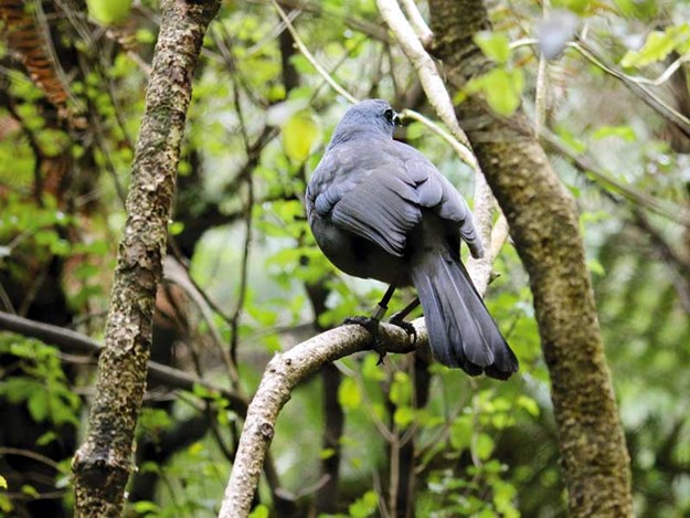 |
The North Island kokako is one of several species of endangered birds that enjoys the safety of predator-free Tiritiri Matangi |
An awesome aspect of Hauraki Gulf is that most of the islands are sanctuaries to kiwi and other endangered native species. Tiritiri Matangi is the jewel in the crown of this area. A huge voluntary restoration project has seen the island’s forested areas increased tenfold and the island has become predator free.
This is certainly a must-see for anyone cruising the gulf, and we greatly enjoyed the bush walks, hearing the elusive kokako, watching the saddlebacks in the flax bushes, and hearing the call of the bellbird and chatter of the kakariki.
The resident pair of takahe were gorgeous to see with their young one and it was, quite simply, just a lovely place to be.
Kawau Island
 |
Bush walks can be enjoyed on most of the islands, including this one on Kawau |
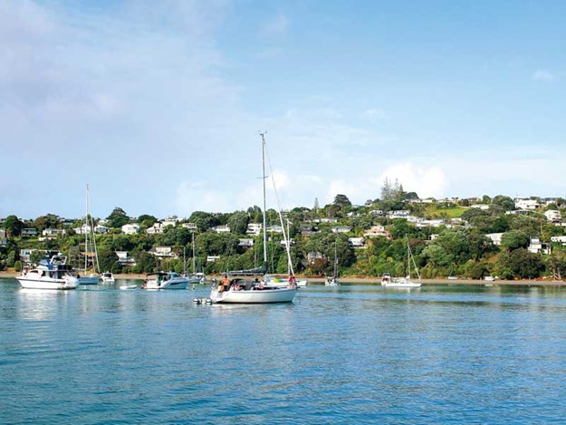
One of the largest islands in the Hauraki Gulf, Kawau Island made for a lovely sheltered overnight anchorage. The historic Mansion House is the highlight on this island and we spent a good hour exploring its rooms and corridors, as well as relaxing in the grounds around it.
Sir George Grey—one of New Zealand’s first governors—purchased the island in 1862 and built the mansion for his personal use, as well as planting a large exotic garden that was home to animals from all over the world. Unfortunately, this included wallabies which continue to have a huge negative impact on the island.
Motuihe island
 |
A sunny afternoon stroll on Motuihe Island |
Heading back towards the harbour entrance, we briefly anchored close to the wreck of an old ship. Islands in the gulf were often used as dumping grounds for obsolete ships. This provided a fascinating area for snorkelling in the sheltered bay.
Then it was on to Motuihe Island, site of an old naval base and one-time home of our skipper when he was a lad. This grass-covered island is thin and long with lovely beaches on both sides.
Smashed bits of naval crockery can be found around the coastline, and a kiosk told us some of the stories of the island. There is little sign of the naval base that was established during the Second World War and closed down in 1963 when it was moved to the North Shore.
Humbling Hauraki
And so the next day, we were port bound. We had only touched on the depth of history that is the Hauraki Gulf, both natural and human. We had experienced the beauty of an area not easily accessible, learned how to crew a yacht, and enjoyed the kaimoana; it doesn’t get much better than that.